 |
Grangeville
is a city of approximately 3,200 residents, located in north central Idaho. It is the county seat for Idaho County. Called the Gateway to the Selway-Bitterroot Wilderness, Grangeville is also near the Nez Perce National Forest, the Gospel Hump Wilderness and Hells Canyon. Whitewater rafting is available on the Clearwater, Snake and Salmon Rivers, and the city operates the nearby Snowhaven Ski Area. Hiking is a popular activity in the Nez Perce National Forest and the area is popular for salmon and steelhead trout fishing. Many residents of Grangeville depend on the the forests for their livelihoods. In addition to timber harvesting, the U.S. Forest Service is a major source of employment for the residents of the Grangeville region. Grangevilles Border Days is a large 4th of July celebration that features the states oldest rodeo, as well as parades, rides, art shows and dances. Other attractions in Grangeville include the former Fish Creek Lookout Log Cabin, which was donated in 1961 to the Idaho County Historical Society Mining Museum and is now located on East Main Street. The outdoor display contains many original machines and equipment used in early gold mining in Idaho County.

|
Grangeville Vacation Rentals
|

|
|
|

|
Grangeville Hotels and Resorts
|

|
|

|
Grangeville Weather & Climate
|

|
|
|
North Central Idaho has a four-season climate. Located within the northern latitude, Idaho's Northern Panhandle has summer days that are long and sunny, with just enough rain to keep things very green and pretty. Temperatures can range from very warm in the summer to very cold in the winter. The major mountain ranges accumulate a deep snow cover in the winter. In spring, the melting snow pack provides irrigation water for the lower regions of the state. The major source of moisture for northern Idaho is the Pacific Ocean, although in summer there are some exceptions when moisture-laden air is brought in from the south.
|
| Month |
High Temp |
Low Temp |
Rainfall |
Ocean Temp |
| January |
35°F |
11°F |
3.39 in. |
- |
| February |
41°F |
14°F |
2.51 in. |
- |
| March |
47°F |
20°F |
2.62 in. |
- |
| April |
54°F |
26°F |
2.69 in. |
- |
| May |
62°F |
33°F |
3.26 in. |
- |
| June |
71°F |
39°F |
3.14 in. |
- |
| July |
80°F |
41°F |
1.90 in. |
- |
| August |
81°F |
38°F |
1.45 in. |
- |
| September |
72°F |
32°F |
1.75 in. |
- |
| October |
59°F |
26°F |
2.07 in. |
- |
| November |
41°F |
20°F |
3.22 in. |
- |
| December |
33°F |
11°F |
3.14 in. |
- |

|
Grangeville Map & Transportation
|

|
|
 |
|
|
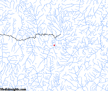
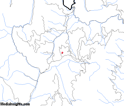
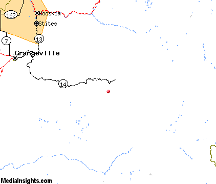
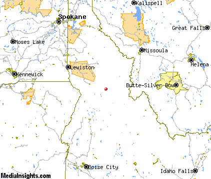
| Click each thumbnail image to enlarge. |
 |
 |
 |
 |
The closest airports in the area are the Idaho County airport (S80) located about 32 miles northwest of Grangeville and the Mc Call Municipal airport (MYL) located approximately 67 miles southwest of Grangeville in Mccall, Idaho.
|

|
Grangeville Attractions
|

|
|
| | | Golf Courses |
| Grangeville Country Club | Grangeville | ID | | |
| | | Ski Areas |
| Lost Trail | Conner | MT | 66.7 mi. | | | Marshall Mountain | Missoula | MT | 104.6 mi. | | | Montana Snowbowl | Missoula | MT | 104.6 mi. | | | Maverick Mountain | Polaris | MT | 117.9 mi. | | | Lookout Pass | Wallace | ID | 119.9 mi. | |
Notice a problem with the information on this page? Please notify us.
|
Disclaimer: We recommend you conduct your own research regarding all accomodations and attractions found on this website. The distances shown on this website are straight-line distances as the crow flies. The road distance may be considerably longer. You assume all liability for use of any information found on this website. No information is confirmed or warranted in any way. By using our services you agree to the terms and conditions of this disclaimer.
|
| We are the #1 site for your Idaho Vacation presenting Idaho vacation rentals, hotels, weather and map for each city. |
Idaho Vacation .com
©1997-2025 All Rights Reserved.
|
|